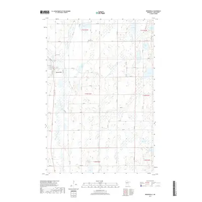
2019 Map of Browerville
USGS Topo · Published 2019About this map
The Long Prairie River meanders through this section of Todd County, defining a landscape of glacial depressions and active waterways. The city of Browerville serves as the primary settlement, organized around a grid of streets including W 5th St and E 6th St, positioned near the banks of Drayer Cr. This area is characterized by an exceptional density of lakes and wetlands, from the large expanse of Long Lake and Round Lake in the northeast to Rice Lake and Jacobs Lake further south. Genealogists will find the locations of Evergreen Cem and Weitemier Cem significant for tracing local family histories. The surrounding terrain is a complex network of creeks such as Eagle Cr, Harris Cr, and Turtle Cr, which link the numerous basins like Horseshoe Lake and Sheet Lake to the river system.
Find a feature on this map
46 named features on this map. Tap any name to fly to it.
Don’t see what you’re looking for? This feature index may not catch every label — zoom into the map to look around manually.
Map Details
Editions of this 2019 Browerville Map
This is the sole edition of this map. No revisions or reprints were ever made.
Other maps of this area

1948 · Cushing
USGS Topo · 1:62,500

1950 · Swanville
USGS Topo · 1:62,500

1950 · Cushing
USGS Topo · 1:62,500

1953 · Brainerd
USGS Topo · 1:250,000

1953 · Saint Cloud
USGS Topo · 1:250,000

1957 · Brainerd
USGS Topo · 1:250,000

1957 · Saint Cloud
USGS Topo · 1:250,000

1958 · Saint Cloud
USGS Topo · 1:250,000

1958 · Brainerd
USGS Topo · 1:250,000

1965 · Brainerd
USGS Topo · 1:250,000