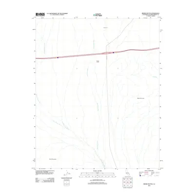
2012 Map of Brown Buttes
USGS Topo · Published 2012About this map
Willow Spring Wash and Old Dad Mountains Wash define the drainage patterns across this arid portion of San Bernardino County. The landscape is characterized by prominent geological formations including the Brown Buttes and the northern reaches of the Bristol Mountains. Human activity is centered on Kelbaker Rd, which intersects the northern portion of the map, and the isolated outpost of Sheep Corral. The convergence of Orange Blossom Wash and other intermittent watercourses emphasizes the topographical relief between the Marble Mountains and the surrounding desert floor. This 2012 survey by the U.S. Geological Survey provides a precise view of the geographic relationships in this sparsely populated region, where unnamed trails and dry washes are the primary navigational landmarks.
Find a feature on this map
9 named features on this map. Tap any name to fly to it.
Don’t see what you’re looking for? This feature index may not catch every label — zoom into the map to look around manually.
Map Details
Editions of this 2012 Brown Buttes Map
This is the sole edition of this map. No revisions or reprints were ever made.
Other maps of this area

1942 · Amboy
USGS Topo · 1:250,000

1943 · Amboy
USGS Topo · 1:250,000

1954 · Needles
USGS Topo · 1:250,000

1954 · Amboy Crater
USGS Topo · 1:24,000

1956 · Needles
USGS Topo · 1:250,000

1956 · Cadiz
USGS Topo · 1:62,500
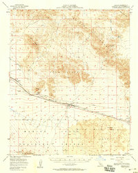
1956 · Bagdad
USGS Topo · 1:62,500

1956 · Flynn
USGS Topo · 1:62,500
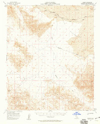
1957 · Kerens
USGS Topo · 1:62,500
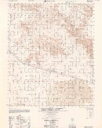
1960 · Bagdad
USGS Topo · 1:50,000