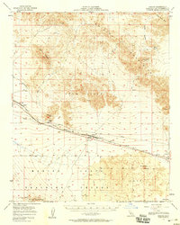
1956 Map of Bagdad
USGS Topo · Published 1958About this map
The Atchison Topeka and Santa Fe railroad corridor defines this Mojave Desert landscape, connecting the remote stations of Siberia and Bagdad. This mid-century survey reveals a transition from mineral extraction at the Orange Blossom Mine and various Prospects toward large-scale military use within the Marine Corps Training Center. The geography is dominated by volcanic features, including the prominent Amboy Crater and the Lava Hills, while a lonely Cemetery near Bagdad and the Trojan (Site) hint at the region's earlier pioneers and railroad workers. High-voltage infrastructure and a long Pipeline parallel the tracks, serving the industrial needs of an arid basin bordered by the Bullion Mountains and the salt flats of Bristol Lake.
Find a feature on this map
27 named features on this map. Tap any name to fly to it.
Don’t see what you’re looking for? This feature index may not catch every label — zoom into the map to look around manually.
Map Details
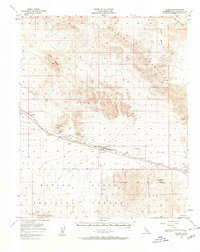
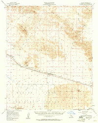
Editions of this 1956 Bagdad Map
3 editions found
Other maps of this area

1942 · Amboy
USGS Topo · 1:250,000

1943 · Amboy
USGS Topo · 1:250,000

1953 · San Bernardino
USGS Topo · 1:250,000

1954 · Needles
USGS Topo · 1:250,000

1954 · Bristol Lake NW
USGS Topo · 1:24,000

1954 · Amboy Crater
USGS Topo · 1:24,000

1954 · Bagdad SW
USGS Topo · 1:24,000

1954 · Ludlow SE
USGS Topo · 1:24,000

1955 · Lead Mountain
USGS Topo · 1:24,000

1955 · Lead Mtn. NE
USGS Topo · 1:24,000