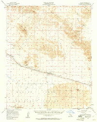
1956 Map of Bagdad
USGS Topo · Published 1961About this map
The Atchison Topeka and Santa Fe railroad corridor dictates the human footprint across this Mojave Desert landscape, connecting isolated stops like Siberia and Bagdad. Near the railroad sidings, a small Cemetery and the Trojan (Site) reflect the sparse, infrastructure-dependent settlement patterns of the mid-1950s. To the north, the Bristol Mountains and Black Ridge rise above the basin, while the southern portion of the map is dominated by the Marine Corps Training Center and the Lava Training Center. Geologic features define much of the territory, from the distinct volcanic profile of Amboy Crater to the dry expanses of Bristol Lake and Dry Lake. Mining activity is evident in the northeast at the Orange Blossom Mine, with various other prospects and a Shaft scattered near the foothills, indicating the era's ongoing mineral exploration in the Lava Hills.
Find a feature on this map
24 named features on this map. Tap any name to fly to it.
Don’t see what you’re looking for? This feature index may not catch every label — zoom into the map to look around manually.
Map Details
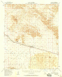
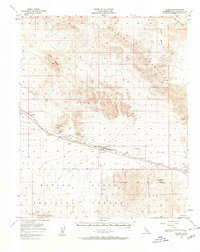
Editions of this 1956 Bagdad Map
3 editions found
Other maps of this area

1942 · Amboy
USGS Topo · 1:250,000

1943 · Amboy
USGS Topo · 1:250,000

1953 · San Bernardino
USGS Topo · 1:250,000

1954 · Needles
USGS Topo · 1:250,000

1954 · Bristol Lake NW
USGS Topo · 1:24,000

1954 · Amboy Crater
USGS Topo · 1:24,000

1954 · Bagdad SW
USGS Topo · 1:24,000

1954 · Ludlow SE
USGS Topo · 1:24,000

1955 · Lead Mountain
USGS Topo · 1:24,000

1955 · Lead Mtn. NE
USGS Topo · 1:24,000