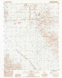
1985 Map of Brown Buttes
USGS Topo · Published 1985About this map
Brown Buttes and the northern reaches of the Marble Mts dominate this mid-1980s arid landscape, located within the East Mojave National Scenic Area. The terrain is defined by dry drainage systems, specifically Willow Spring Wash and Orange Blossom Wash, which carve through the desert floor between the high peaks and the eastern edge of the Old Dad Mountains.
Find a feature on this map
13 named features on this map. Tap any name to fly to it.
Don’t see what you’re looking for? This feature index may not catch every label — zoom into the map to look around manually.
Map Details
Editions of this 1985 Brown Buttes Map
This is the sole edition of this map. No revisions or reprints were ever made.
Other maps of this area

1942 · Amboy
USGS Topo · 1:250,000

1943 · Amboy
USGS Topo · 1:250,000

1954 · Needles
USGS Topo · 1:250,000

1954 · Amboy Crater
USGS Topo · 1:24,000

1956 · Needles
USGS Topo · 1:250,000

1956 · Cadiz
USGS Topo · 1:62,500
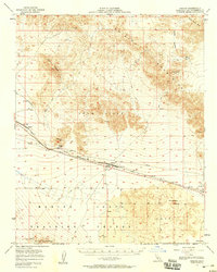
1956 · Bagdad
USGS Topo · 1:62,500

1956 · Flynn
USGS Topo · 1:62,500
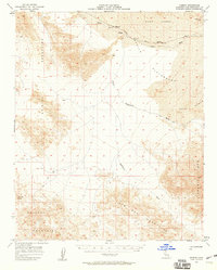
1957 · Kerens
USGS Topo · 1:62,500
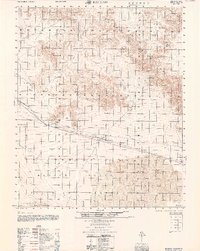
1960 · Bagdad
USGS Topo · 1:50,000