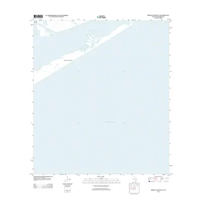
2013 Map of Brown Cedar Cut
USGS Topo · Published 2013About this map
Matagorda Peninsula forms a narrow, protective barrier between the open Gulf of Mexico and the marshy interior waters of Matagorda County. This 2013 survey documents a dynamic coastal environment where the Brown Cedar Cut serves as a vital tidal opening, connecting East Matagorda Bay to the sea. The landscape is defined by its transition from salt-water estuaries to the slender strip of the peninsula, with Turkey Island and Live Oak Bay marking the more sheltered northern reaches of the quadrangle. The map illustrates the fragile relationship between the Texas mainland and the shifting sands of the peninsula, providing a clear record of the shoreline and water passages that define this section of the coast.
Find a feature on this map
6 named features on this map. Tap any name to fly to it.
Don’t see what you’re looking for? This feature index may not catch every label — zoom into the map to look around manually.
Map Details
Editions of this 2013 Brown Cedar Cut Map
This is the sole edition of this map. No revisions or reprints were ever made.
Other maps of this area

1951 · Bay City
USGS Topo · 1:250,000

1952 · Lake Austin
USGS Topo · 1:24,000

1952 · Dressing Point
USGS Topo · 1:24,000

1952 · Cedar Lakes West
USGS Topo · 1:24,000
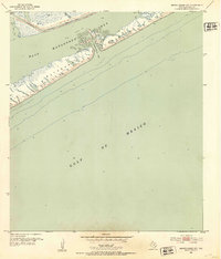
1952 · Brown Cedar Cut
USGS Topo · 1:24,000

1952 · Sargent
USGS Topo · 1:24,000

1956 · Bay City
USGS Topo · 1:250,000

1958 · Bay City
USGS Topo · 1:250,000
1974 · Bay City
USGS Topo · 1:250,000
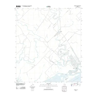
2010 · Sargent
USGS Topo · 1:24,000