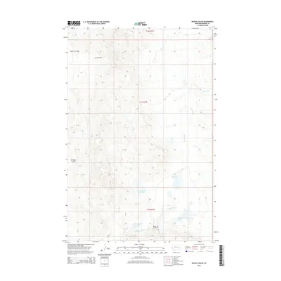
2014 Map of Brown Coulee
USGS Topo · Published 2014About this map
Badland Coulee and Brown Coulee cut through this section of Rosebud County, Montana, revealing a landscape defined by significant drainage patterns and water management in a semi-arid region. In this early twenty-first-century survey, the reliance on man-made water storage is evident through several named catchments, including Blacktail Reservoir, Brown Coulee Reservoir, and Kerns Reservoir. These features, along with Lower Blacktail Reservoir, suggest a ranching or agricultural environment where controlling the seasonal flow of E Blacktail Cr was vital for local land use.
Find a feature on this map
12 named features on this map. Tap any name to fly to it.
Don’t see what you’re looking for? This feature index may not catch every label — zoom into the map to look around manually.
Map Details
Editions of this 2014 Brown Coulee Map
This is the sole edition of this map. No revisions or reprints were ever made.
Other maps of this area

1954 · Forsyth
USGS Topo · 1:250,000

1957 · Forsyth
USGS Topo · 1:250,000

1958 · Forsyth
USGS Topo · 1:250,000

1960 · Hagen Ranch
USGS Topo · 1:24,000

1960 · Thebes
USGS Topo · 1:24,000

1960 · Brown Coulee
USGS Topo · 1:24,000

1960 · Zempel Lake
USGS Topo · 1:24,000

1965 · Acorn Flats
USGS Topo · 1:24,000

1965 · Hole-In-The-Rock
USGS Topo · 1:24,000

1965 · Vanstel
USGS Topo · 1:24,000