
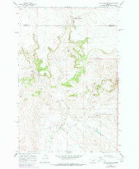
1965 Map of Hole-In-The-Rock
USGS Topo · Published 1968About this map
Big Porcupine Creek carves a deep path through this mid-1960s landscape, crossing the boundary between Garfield Co and Rosebud Co. The terrain is defined by a network of drainage systems, where seasonal water flow has sculpted significant formations like Devils Canyon and the notable Hole-in-the-Rock. This area of eastern Montana is characterized by its isolation and specialized water features, including a Flowing Well and various springs that supported ranching operations in the arid breaks.
Find a feature on this map
11 named features on this map. Tap any name to fly to it.
Don’t see what you’re looking for? This feature index may not catch every label — zoom into the map to look around manually.
Map Details
Editions of this 1965 Hole-In-The-Rock Map
2 editions found
Other maps of this area

1954 · Forsyth
USGS Topo · 1:250,000

1957 · Forsyth
USGS Topo · 1:250,000

1958 · Forsyth
USGS Topo · 1:250,000

1960 · Hagen Ranch
USGS Topo · 1:24,000

1960 · Brown Coulee
USGS Topo · 1:24,000

1960 · Black Sea Reservoir
USGS Topo · 1:24,000

1965 · Acorn Flats
USGS Topo · 1:24,000

1965 · Kramer Ranch
USGS Topo · 1:24,000
1965 · Emma Butte
USGS Topo · 1:24,000
1965 · Mc Ginnis Butte SE
USGS Topo · 1:24,000