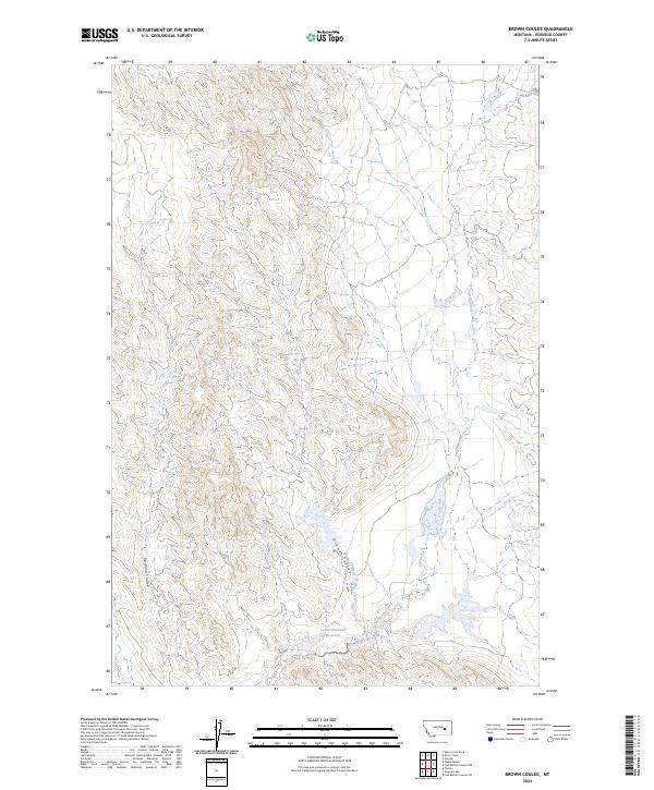
2024 Map of Brown Coulee
USGS Topo · Published 2024About this map
East Blacktail Creek meanders through this section of eastern Montana, where the drainages of Rosebud County define a landscape shaped by intermittent water and erosion. The terrain is characterized by deep draws and coulees, most notably Brown Coulee and the appropriately named Badland Coulee to the west. Water management in this semi-arid environment is evidenced by the Lower Blacktail Reservoir, a vital point of collection for local livestock and land use. This modern topographic study reveals a topography where vertical relief and dry washes dictate the placement of local roads and property boundaries across the Public Land Survey System grids of t11n r37e and surrounding townships.
Find a feature on this map
8 named features on this map. Tap any name to fly to it.
Don’t see what you’re looking for? This feature index may not catch every label — zoom into the map to look around manually.
Map Details
Editions of this 2024 Brown Coulee Map
This is the sole edition of this map. No revisions or reprints were ever made.
Other maps of this area

1954 · Forsyth
USGS Topo · 1:250,000

1957 · Forsyth
USGS Topo · 1:250,000

1958 · Forsyth
USGS Topo · 1:250,000

1960 · Hagen Ranch
USGS Topo · 1:24,000

1960 · Thebes
USGS Topo · 1:24,000

1960 · Brown Coulee
USGS Topo · 1:24,000

1960 · Zempel Lake
USGS Topo · 1:24,000

1965 · Acorn Flats
USGS Topo · 1:24,000

1965 · Hole-In-The-Rock
USGS Topo · 1:24,000

1965 · Vanstel
USGS Topo · 1:24,000