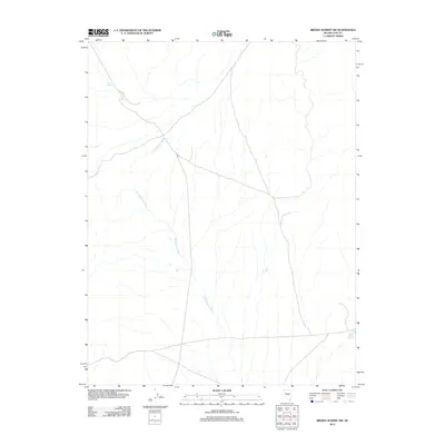
2012 Map of Brown Summit NW
USGS Topo · Published 2012About this map
Sand Springs Wash cuts through this high desert region of Nevada, illustrating the arid hydrology of the Great Basin. This 2012 survey depicts a landscape defined by seasonal water flow and scattered resources. To the northwest, Horse Spring provides a permanent water source, while the southeastern corner of the map features the Brown Summit Reservoir. The intersection of primitive roads and these sparse water features suggests a territory utilized primarily for livestock or transit between larger settlements. The map illustrates the minimal human footprint in this part of Nye County, where the preservation of original drainage patterns and spring locations serves as a primary record of land use in the early twenty-first century.
Find a feature on this map
3 named features on this map. Tap any name to fly to it.
Don’t see what you’re looking for? This feature index may not catch every label — zoom into the map to look around manually.
Map Details
Editions of this 2012 Brown Summit NW Map
This is the sole edition of this map. No revisions or reprints were ever made.
Other maps of this area

1926 · Roberts Mountains
USGS Topo · 1:250,000

1929 · Roberts Mountains
USGS Topo · 1:250,000

1955 · Millett
USGS Topo · 1:250,000

1956 · Cockalorum Wash
USGS Topo · 1:62,500

1956 · Lund
USGS Topo · 1:250,000

1956 · Ely
USGS Topo · 1:250,000

1956 · Tonopah
USGS Topo · 1:250,000

1959 · Ely
USGS Topo · 1:250,000

1959 · Tonopah
USGS Topo · 1:250,000

1959 · Millett
USGS Topo · 1:250,000