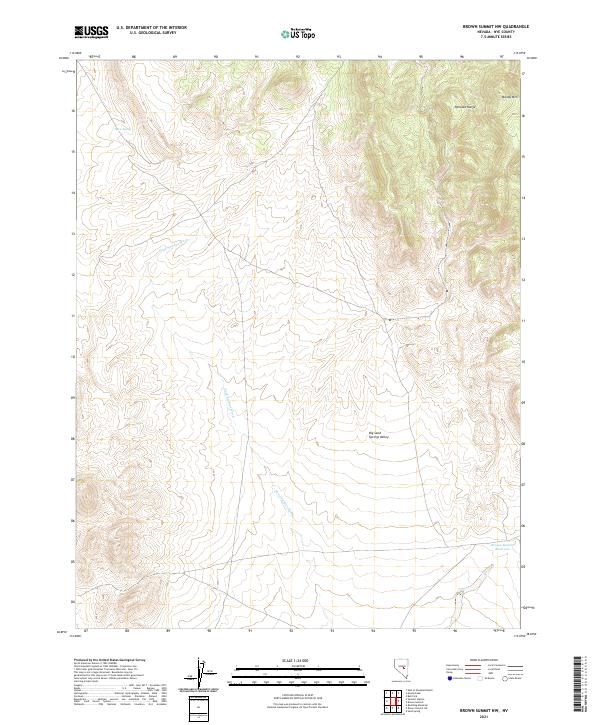
2021 Map of Brown Summit NW
USGS Topo · Published 2021About this map
Big Sand Springs Valley dominates this high-altitude landscape in Nye County, showing the characteristic basin and range structure of central Nevada. The map captures the arid geography of the Pancake Range, which defines the eastern portion of the quadrangle. Along the northern edge, Moody Mtn rises above the alluvial fans, while the Sand Springs Wash provides a primary drainage route through the valley floor. Water sources are scarce in this desert environment, making isolated points like Horse Spring and the man-made Brown Summit Reservoir critical landmarks for navigation and land use. The Public Land Survey System grid, including boundaries for t13n r54e and surrounding townships, overlays a terrain largely shaped by intermittent water flow and geological uplift.
Find a feature on this map
11 named features on this map. Tap any name to fly to it.
Don’t see what you’re looking for? This feature index may not catch every label — zoom into the map to look around manually.
Map Details
Editions of this 2021 Brown Summit NW Map
This is the sole edition of this map. No revisions or reprints were ever made.
Other maps of this area

1926 · Roberts Mountains
USGS Topo · 1:250,000

1929 · Roberts Mountains
USGS Topo · 1:250,000

1955 · Millett
USGS Topo · 1:250,000

1956 · Cockalorum Wash
USGS Topo · 1:62,500

1956 · Lund
USGS Topo · 1:250,000

1956 · Ely
USGS Topo · 1:250,000

1956 · Tonopah
USGS Topo · 1:250,000

1959 · Ely
USGS Topo · 1:250,000

1959 · Tonopah
USGS Topo · 1:250,000

1959 · Millett
USGS Topo · 1:250,000