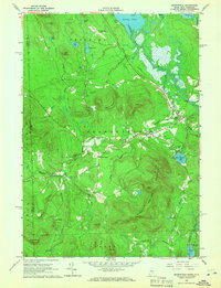
1964 Map of Brownfield
USGS Topo · Published 1966About this map
The Saco River meanders through a broad valley floor in the mid-1960s, defining the landscape between the Burnt Meadow Mountains and the New Hampshire border. This era shows the Maine Central Railroad still threading through East Brownfield and Brownfield, serving the local timber and agricultural economy. The settlement pattern is characterized by small pockets like Merrill Corner and West Brownfield, often anchored by family-named landmarks such as the Merrill Cem and Wentworth Cem.
Find a feature on this map
54 named features on this map. Tap any name to fly to it.
Don’t see what you’re looking for? This feature index may not catch every label — zoom into the map to look around manually.
Map Details
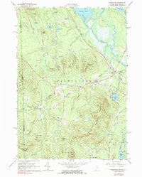
Editions of this 1964 Brownfield Map
2 editions found
Other maps of this area

1894 · North Conway
USGS Topo · 1:62,500

1896 · North Conway
USGS Topo · 1:62,500

1909 · Fryeburg
USGS Topo · 1:62,500

1910 · Kezar Falls
USGS Topo · 1:48,000

1911 · Fryeburg
USGS Topo · 1:62,500

1911 · Kezar Falls
USGS Topo · 1:62,500

1930 · Ossipee Lake
USGS Topo · 1:62,500

1941 · Fryeburg
USGS Topo · 1:62,500

1942 · North Conway
USGS Topo · 1:62,500

1945 · North Conway
USGS Topo · 1:62,500