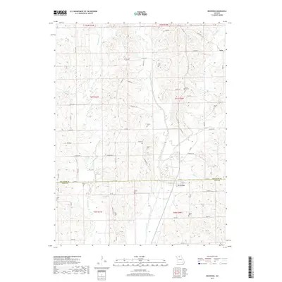
2017 Map of Browning
USGS Topo · Published 2017About this map
Browning sits at the intersection of Sullivan and Linn counties, serving as the primary hub in a landscape defined by the winding course of Locust Creek. This 2017 survey reveals a deeply established rural network where agricultural life is anchored by family and community landmarks. The distribution of numerous burial grounds, such as Schrock Cem, Fields Cem, and White Oak Cem, suggests a long history of settlement across the northern Missouri plains.
Find a feature on this map
67 named features on this map. Tap any name to fly to it.
Don’t see what you’re looking for? This feature index may not catch every label — zoom into the map to look around manually.
Map Details
Editions of this 2017 Browning Map
This is the sole edition of this map. No revisions or reprints were ever made.
Other maps of this area

1924 · Chula
USGS Topo · 1:62,500

1946 · Brookfield
USGS Topo · 1:62,500

1946 · Galt
USGS Topo · 1:62,500

1947 · Chula
USGS Topo · 1:62,500

1948 · Brookfield
USGS Topo · 1:62,500

1949 · Galt
USGS Topo · 1:62,500

1953 · Moberly
USGS Topo · 1:250,000

1954 · Centerville
USGS Topo · 1:250,000

1954 · Moberly
USGS Topo · 1:250,000

1957 · Moberly
USGS Topo · 1:250,000