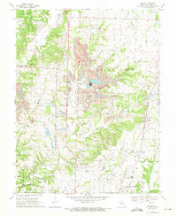
1969 Map of Browns
USGS Topo · Published 1971About this map
Norfolk and Western rail lines and extensive Strip Mines define the landscape north of Columbia in the late 1960s. The terrain is a complex mix of industrial excavation and traditional rural settlements like Browns, Stephens, and Hinton. The presence of numerous Strip Mines and a Quarry suggests a heavy reliance on mineral extraction, which significantly altered the local topography near Rocky Fork.
Find a feature on this map
29 named features on this map. Tap any name to fly to it.
Don’t see what you’re looking for? This feature index may not catch every label — zoom into the map to look around manually.
Map Details
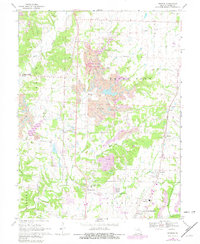
Editions of this 1969 Browns Map
2 editions found
Other maps of this area

1886 · Jefferson City
USGS Topo · 1:125,000

1890 · Moberly
USGS Topo · 1:125,000

1894 · Jefferson City
USGS Topo · 1:125,000

1917 · Sturgeon
USGS Topo · 1:62,500

1935 · Columbia
USGS Topo · 1:24,000

1940 · Columbia
USGS Topo · 1:24,000

1944 · Millersburg
USGS Topo · 1:62,500

1945 · Centralia
USGS Topo · 1:62,500

1946 · Millersburg
USGS Topo · 1:62,500

1947 · Jefferson City
USGS Topo · 1:250,000