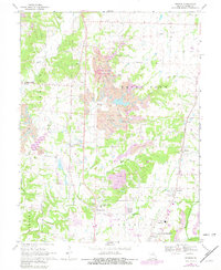
1969 Map of Browns
USGS Topo · Published 1982About this map
Finger Lakes State Park dominates the central landscape of this Boone County survey, where heavy extraction left a legacy of strip mines and reclaimed areas. The northern periphery of Columbia is visible at the bottom of the sheet, connected to outlying rural communities like Prathersville and Switzler by a network of developing roads and the Norfolk and Western railway. These transportation corridors link established settlements such as Browns, Hinton, and Stephens to the city's expanding footprint.
Find a feature on this map
43 named features on this map. Tap any name to fly to it.
Don’t see what you’re looking for? This feature index may not catch every label — zoom into the map to look around manually.
Map Details
Editions of this 1969 Browns Map
2 editions found
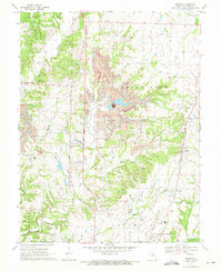
Other maps of this area

1886 · Jefferson City
USGS Topo · 1:125,000

1890 · Moberly
USGS Topo · 1:125,000

1894 · Jefferson City
USGS Topo · 1:125,000

1917 · Sturgeon
USGS Topo · 1:62,500

1935 · Columbia
USGS Topo · 1:24,000

1940 · Columbia
USGS Topo · 1:24,000

1944 · Millersburg
USGS Topo · 1:62,500

1945 · Centralia
USGS Topo · 1:62,500

1946 · Millersburg
USGS Topo · 1:62,500

1947 · Jefferson City
USGS Topo · 1:250,000