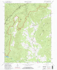
1965 Map of Browns Cove
USGS Topo · Published 1981About this map
The Shenandoah National Park boundary winds through the high terrain of the Blue Ridge in this mid-1960s survey of the Albemarle and Rockingham county line. The landscape is defined by the steep descent from the Skyline Drive into the fertile lowlands of Browns Cove and the Doyles River valley. Historic community life is centered around the Browns Cove Ch, Mt Carmel Ch, and the Sandridge Cem. A notable piece of military history is preserved near Browns Gap at the Civil War Gun Emplacement, marking the strategic importance of these mountain passes. In the south, the Charlottesville Reservoir sits at the confluence where Sugar Hollow meets the North Fork Moormans River, illustrating the region's role in local water management and recreation during this era.
Find a feature on this map
54 named features on this map. Tap any name to fly to it.
Don’t see what you’re looking for? This feature index may not catch every label — zoom into the map to look around manually.
Map Details
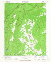
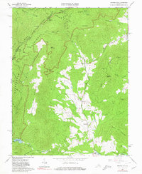
Editions of this 1965 Browns Cove Map
3 editions found
Other maps of this area

1892 · Harrisonburg
USGS Topo · 1:125,000

1931 · University
USGS Topo · 1:62,500

1934 · Waynesboro
USGS Topo · 1:48,000

1935 · University
USGS Topo · 1:62,500

1937 · Elkton
USGS Topo · 1:62,500

1939 · Waynesboro
USGS Topo · 1:62,500

1941 · Harrisonburg
USGS Topo · 1:62,500

1943 · Harrisonburg
USGS Topo · 1:62,500

1949 · Charlottesville
USGS Topo · 1:250,000

1956 · Charlottesville
USGS Topo · 1:250,000