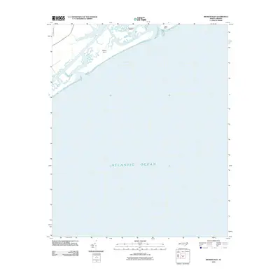
2010 Map of Browns Inlet
USGS Topo · Published 2010About this map
Camp Lejeune dominates the coastal landscape of Onslow County in this 2010 topographic representation, where military training grounds meet the dynamic barrier island system of North Carolina. The map illustrates a complex network of coastal waterways and marshes, centered around the Shacklefoot Channel and Browns Creek. These estuaries separate the mainland from the prominent barrier formations of Browns Island and Saunders Island.
Find a feature on this map
8 named features on this map. Tap any name to fly to it.
Don’t see what you’re looking for? This feature index may not catch every label — zoom into the map to look around manually.
Map Details
Editions of this 2010 Browns Inlet Map
This is the sole edition of this map. No revisions or reprints were ever made.
Other maps of this area

1942 · Spicer Bay
USGS Topo · 1:62,500

1942 · Swansboro
USGS Topo · 1:62,500

1948 · Swansboro
USGS Topo · 1:62,500

1948 · New River
USGS Topo · 1:62,500

1952 · Hubert
USGS Topo · 1:24,000

1952 · Camp Lejeune
USGS Topo · 1:24,000

1952 · Swansboro
USGS Topo · 1:24,000

1952 · Browns Inlet
USGS Topo · 1:24,000

1952 · New River Inlet
USGS Topo · 1:24,000

1953 · Beaufort
USGS Topo · 1:250,000