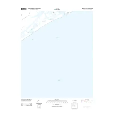
2013 Map of Browns Inlet
USGS Topo · Published 2013About this map
Camp Lejeune occupies the landward portion of this coastal survey, where the terrestrial landscape of North Carolina meets the Atlantic Ocean. The topography is defined by a complex network of barrier islands and tidal waterways, including Browns Island and Sanders Island. These landforms are separated from the mainland by narrow passages such as Shacklefoot Channel and Banks Channel, which facilitate the flow of water between Browns Sound and the open sea.
Find a feature on this map
12 named features on this map. Tap any name to fly to it.
Don’t see what you’re looking for? This feature index may not catch every label — zoom into the map to look around manually.
Map Details
Editions of this 2013 Browns Inlet Map
This is the sole edition of this map. No revisions or reprints were ever made.
Other maps of this area

1942 · Spicer Bay
USGS Topo · 1:62,500

1942 · Swansboro
USGS Topo · 1:62,500

1948 · Swansboro
USGS Topo · 1:62,500

1948 · New River
USGS Topo · 1:62,500

1952 · Hubert
USGS Topo · 1:24,000

1952 · Camp Lejeune
USGS Topo · 1:24,000

1952 · Swansboro
USGS Topo · 1:24,000

1952 · Browns Inlet
USGS Topo · 1:24,000

1952 · New River Inlet
USGS Topo · 1:24,000

1953 · Beaufort
USGS Topo · 1:250,000