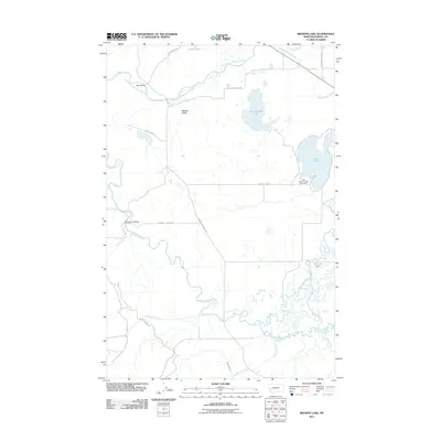
2011 Map of Browns Lake
USGS Topo · Published 2011About this map
Nevada Valley and the broad Kleinschmidt Flat define this landscape along the Blackfoot River in Powell County. The terrain is a complex network of glacial lakes and braided waterways, including Browns Lake and Kleinschmidt Lake. A notable point of human activity is the First Chance Creek Placer Mine, located near the southeastern shore of Browns Lake, illustrating the region's history with mineral extraction. Transportation and irrigation patterns are visible through features like Raymond Bridge and the Company Ditch, which cuts across the southern portion of the map near Nevada Creek. Names like Yourname Creek and Roller Coaster Rd add local character to this Montana territory, while the convergence of the North Fork Blackfoot River shows the natural drainage patterns that have shaped the valley's settlement.
Find a feature on this map
26 named features on this map. Tap any name to fly to it.
Don’t see what you’re looking for? This feature index may not catch every label — zoom into the map to look around manually.
Map Details
Editions of this 2011 Browns Lake Map
This is the sole edition of this map. No revisions or reprints were ever made.
Other maps of this area

1889 · Helena
USGS Topo · 1:250,000

1893 · Helena
USGS Topo · 1:250,000

1899 · Helena
USGS Topo · 1:250,000

1902 · Ovando
USGS Topo · 1:125,000

1903 · Coopers Lake
USGS Topo · 1:125,000

1903 · Helena
USGS Topo · 1:250,000

1905 · Ovando
USGS Topo · 1:125,000

1919 · Drummond
USGS Topo · 1:125,000

1921 · Drummond
USGS Topo · 1:125,000

1947 · Butte
USGS Topo · 1:250,000