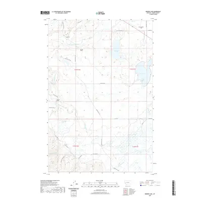
2020 Map of Browns Lake
USGS Topo · Published 2020About this map
Nevada Valley and the broad expanse of Kleinschmidt Flat define this pocket of Powell County, where water management and ranching roads dominate the landscape. The North Fork Blackfoot River and the main Blackfoot River converge near the Raymond Bridge, a central crossing point for local transit. The hydrography of the region is further shaped by the presence of Kleinschmidt Lake and Browns Lake, while the Company Ditch indicates historical efforts to divert water for agricultural or industrial use. High-elevation access is documented through numerous specialized routes such as Geary Bros Cabin Rd and Roller Coaster Rd, reflecting the area's timber and recreational utility. This survey captures a terrain where named drainages like Wales Cr and McElwain Cr feed into the larger river systems that have long sustained the valley's economy.
Find a feature on this map
35 named features on this map. Tap any name to fly to it.
Don’t see what you’re looking for? This feature index may not catch every label — zoom into the map to look around manually.
Map Details
Editions of this 2020 Browns Lake Map
This is the sole edition of this map. No revisions or reprints were ever made.
Other maps of this area

1889 · Helena
USGS Topo · 1:250,000

1893 · Helena
USGS Topo · 1:250,000

1899 · Helena
USGS Topo · 1:250,000

1902 · Ovando
USGS Topo · 1:125,000

1903 · Coopers Lake
USGS Topo · 1:125,000

1903 · Helena
USGS Topo · 1:250,000

1905 · Ovando
USGS Topo · 1:125,000

1919 · Drummond
USGS Topo · 1:125,000

1921 · Drummond
USGS Topo · 1:125,000

1947 · Butte
USGS Topo · 1:250,000