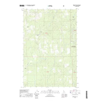
2020 Map of Browns Rock
USGS Topo · Published 2020About this map
Clearwater National Forest defines the character of this Idaho landscape, where the high ridges of the Bitterroot Mountains are marked by prominent summits and saddles. Browns Rock and Browns Rock Saddle occupy the central terrain, while Deadhorse Mtn and Elk Mtn stand as notable landmarks to the east. The drainage patterns are intricate, with Beaver Cr, Washington Cr, and Middleton Cr carving deep into the forested slopes. Small, named clearings like Camp Ten Meadow suggest the history of mountain camps and land use in this remote part of Clearwater County. The road network, including Browns Rock Rd and Tepee Rd, follows the contours of the Scofield Divide, illustrating how access was carved through the high-elevation backcountry.
Find a feature on this map
39 named features on this map. Tap any name to fly to it.
Don’t see what you’re looking for? This feature index may not catch every label — zoom into the map to look around manually.
Map Details
Editions of this 2020 Browns Rock Map
This is the sole edition of this map. No revisions or reprints were ever made.
Other maps of this area

1923 · Washington Creek
USGS Topo · 1:125,000

1936 · Boehls Butte
USGS Topo · 1:48,000

1938 · Headquarters
USGS Topo · 1:48,000

1943 · Boehls Butte
USGS Topo · 1:62,500

1944 · Headquarters
USGS Topo · 1:62,500

1956 · Hamilton
USGS Topo · 1:250,000

1959 · Hamilton
USGS Topo · 1:250,000

1960 · Hamilton
USGS Topo · 1:250,000

1963 · Sheep Mtn
USGS Topo · 1:24,000

1963 · Clarke Mtn
USGS Topo · 1:24,000