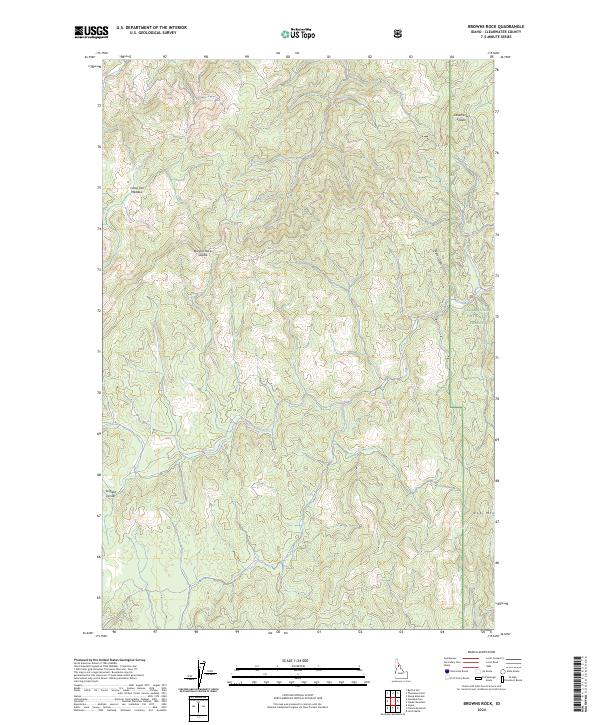
2024 Map of Browns Rock
USGS Topo · Published 2024About this map
Clearwater National Forest defines the character of this Idaho terrain, which consists of steep, forested ridges and drainage draws within the Clearwater River system. The landscape is marked by strategic mountain passes such as Browns Rock Saddle and Deadhorse Saddle, which historically provided passage through the high-elevation backcountry. To the southwest, Scofield Divide separates the local watersheds, while Elk Mtn stands as a prominent landmark in the southeastern corner of the quadrangle. The presence of Camp Ten Meadow suggests the location of an old forest or logging camp, providing a tangible link to the timber industry's activities in this remote section of Clearwater County. Modern forest roads trace the contours of the land, connecting these topographic features across several township boundaries including t39n r6e and t38n r6e.
Find a feature on this map
11 named features on this map. Tap any name to fly to it.
Don’t see what you’re looking for? This feature index may not catch every label — zoom into the map to look around manually.
Map Details
Editions of this 2024 Browns Rock Map
This is the sole edition of this map. No revisions or reprints were ever made.
Other maps of this area

1923 · Washington Creek
USGS Topo · 1:125,000

1936 · Boehls Butte
USGS Topo · 1:48,000

1938 · Headquarters
USGS Topo · 1:48,000

1943 · Boehls Butte
USGS Topo · 1:62,500

1944 · Headquarters
USGS Topo · 1:62,500

1956 · Hamilton
USGS Topo · 1:250,000

1959 · Hamilton
USGS Topo · 1:250,000

1960 · Hamilton
USGS Topo · 1:250,000

1963 · Sheep Mtn
USGS Topo · 1:24,000

1963 · Clarke Mtn
USGS Topo · 1:24,000