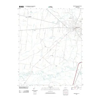
2010 Map of Brownsville
USGS Topo · Published 2010About this map
Brownsville serves as the commercial and civic hub of this West Tennessee landscape, anchored by the Brownsville Post Office and several historic burial grounds including Oakwood Cemetery and Israel Cemetery. The terrain is defined by the winding course of the Hatchie River and its complex system of oxbows and backwaters, such as Moon Lake, Swan Lake, and Bullpen Lake. This riverine environment contrasts with the organized grid of rural roads and small settlements like Lebanon to the northwest.
Find a feature on this map
71 named features on this map. Tap any name to fly to it.
Don’t see what you’re looking for? This feature index may not catch every label — zoom into the map to look around manually.
Map Details
Editions of this 2010 Brownsville Map
This is the sole edition of this map. No revisions or reprints were ever made.
Other maps of this area

1950 · Sunnyhill
USGS Topo · 1:24,000

1950 · Brownsville
USGS Topo · 1:24,000

1951 · Brownsville
USGS Topo · 1:24,000

1951 · Sunnyhill
USGS Topo · 1:24,000

1952 · Stanton
USGS Topo · 1:24,000

1952 · Dancyville
USGS Topo · 1:24,000

1952 · Stanton
USGS Topo · 1:62,500

1956 · Blytheville
USGS Topo · 1:250,000

1959 · Blytheville
USGS Topo · 1:250,000

1959 · Hillville
USGS Topo · 1:24,000