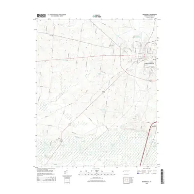
2016 Map of Brownsville
USGS Topo · Published 2016About this map
Brownsville serves as the focal point of this Haywood County landscape, showing the town's modern footprint alongside numerous historic burial grounds. The urban street grid transitions into a rural topography defined by the winding course of the Hatchie River, which creates a complex network of oxbows and floodplain features such as Bullpen Lake, Moon Lake, and Horseshoe Lake. These riparian wetlands contrast sharply with the developed areas and agricultural lands to the north. For those researching local families, several established cemeteries including Oakwood Cem, Rosenwald Cem, and Israel Cem are clearly marked. The map also captures smaller named water bodies like Solaris Lake and Bomer Lake, reflecting the region's managed water resources and residential expansion along the county's road network.
Find a feature on this map
115 named features on this map. Tap any name to fly to it.
Don’t see what you’re looking for? This feature index may not catch every label — zoom into the map to look around manually.
Map Details
Editions of this 2016 Brownsville Map
This is the sole edition of this map. No revisions or reprints were ever made.
Other maps of this area

1950 · Sunnyhill
USGS Topo · 1:24,000

1950 · Brownsville
USGS Topo · 1:24,000

1951 · Brownsville
USGS Topo · 1:24,000

1951 · Sunnyhill
USGS Topo · 1:24,000

1952 · Stanton
USGS Topo · 1:24,000

1952 · Dancyville
USGS Topo · 1:24,000

1952 · Stanton
USGS Topo · 1:62,500

1956 · Blytheville
USGS Topo · 1:250,000

1959 · Blytheville
USGS Topo · 1:250,000

1959 · Hillville
USGS Topo · 1:24,000