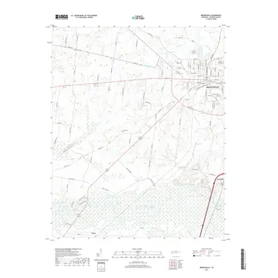
2019 Map of Brownsville
USGS Topo · Published 2019About this map
Brownsville serves as the focal point of this Haywood County landscape, showing a dense street grid that includes residential arteries like W Main St and N Washington Ave. The town's historical geography is deeply rooted in its local burial grounds, including Oakwood Cem, Rosenwald Cem, and Israel Cem. Beyond the city limits, the terrain transitions into the wetlands and oxbow lakes of the Hatchie River bottomlands.
Find a feature on this map
118 named features on this map. Tap any name to fly to it.
Don’t see what you’re looking for? This feature index may not catch every label — zoom into the map to look around manually.
Map Details
Editions of this 2019 Brownsville Map
This is the sole edition of this map. No revisions or reprints were ever made.
Other maps of this area

1950 · Sunnyhill
USGS Topo · 1:24,000

1950 · Brownsville
USGS Topo · 1:24,000

1951 · Brownsville
USGS Topo · 1:24,000

1951 · Sunnyhill
USGS Topo · 1:24,000

1952 · Stanton
USGS Topo · 1:24,000

1952 · Dancyville
USGS Topo · 1:24,000

1952 · Stanton
USGS Topo · 1:62,500

1956 · Blytheville
USGS Topo · 1:250,000

1959 · Blytheville
USGS Topo · 1:250,000

1959 · Hillville
USGS Topo · 1:24,000