
1923 Map of Brownsville
USGS Topo · Published 1923About this map
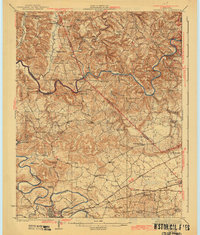
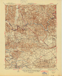
The winding Green River and Barren River define the life and geography of this 1920s-era landscape, where river transport remained central to the local economy. Dozens of landings and river crossings, such as Dalton Ferry, Honakers Ferry, and Pittsburg Landing, dot the riverbanks, marking a period before modern bridges simplified travel through Edmonson and Warren counties. The southern edge is anchored by the growing grid of Bowling Green, while the northern hills around Brownsville are characterized by a dense network of rural one-room schoolhouses and community churches.
Find a feature on this map
93 named features on this map. Tap any name to fly to it.
Don’t see what you’re looking for? This feature index may not catch every label — zoom into the map to look around manually.
Map Details
Editions of this 1923 Brownsville Map
3 editions found
Other maps of this area

1914 · Little Muddy
USGS Topo · 1:62,500

1921 · Bowling Green
USGS Topo · 1:62,500

1922 · Leitchfield
USGS Topo · 1:48,000

1922 · Brownsville
USGS Topo · 1:62,500

1922 · Mammoth Cave
USGS Topo · 1:62,500

1923 · Bowling Green
USGS Topo · 1:62,500

1923 · Mammoth Cave
USGS Topo · 1:62,500

1925 · Spring Lick
USGS Topo · 1:62,500

1925 · Cub Run
USGS Topo · 1:62,500

1925 · Leitchfield
USGS Topo · 1:62,500