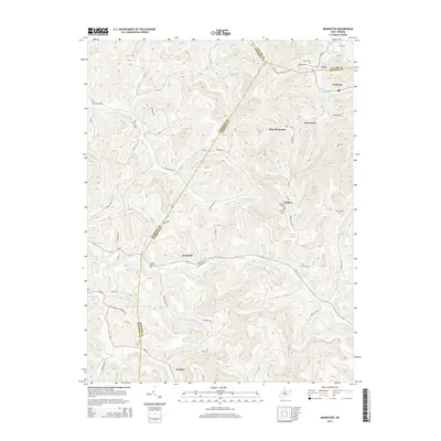
2014 Map of Brownton
USGS Topo · Published 2014About this map
Peeltree and Pepper anchor this portion of the West Virginia coal and farming country, where the landscape is defined by the winding drainages of Elk Cr and Brushy Fork. The terrain transitions from the heights of Bear Mountain down to the scattered communities and mining towns of Galloway and Brownton. This survey provides a precise layout of the early 21st-century road network, including the Buckhannon-Clarksburg Rd and the historic Old Philippi Pike. For genealogists and local historians, the map is a vital resource for locating family burial grounds such as Green Hill Cem, Nutter Cem, and Bean Cem. The presence of Nutters Place Spring and the intricate creek systems like Gnatty Cr and Simpson Cr illustrate the historical reliance on local water sources for these upland settlements.
Find a feature on this map
78 named features on this map. Tap any name to fly to it.
Don’t see what you’re looking for? This feature index may not catch every label — zoom into the map to look around manually.
Map Details
Editions of this 2014 Brownton Map
This is the sole edition of this map. No revisions or reprints were ever made.
Other maps of this area

1902 · Clarksburg
USGS Topo · 1:62,500

1902 · Fairmont
USGS Topo · 1:62,500

1904 · Philippi
USGS Topo · 1:62,500

1904 · Weston
USGS Topo · 1:62,500

1910 · Clarksburg
USGS Topo · 1:62,500

1923 · Fairmont
USGS Topo · 1:62,500

1923 · Clarksburg
USGS Topo · 1:62,500

1925 · Clarksburg
USGS Topo · 1:62,500

1925 · Philippi
USGS Topo · 1:62,500

1926 · Fairmont
USGS Topo · 1:62,500