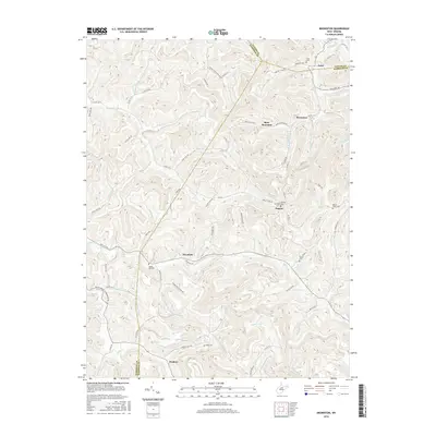
2016 Map of Brownton
USGS Topo · Published 2016About this map
Bear Mountain dominates the center of this terrain where the borders of Harrison, Taylor, and Barbour Counties converge. The landscape is defined by a dense network of watercourses, including the westward-flowing Elk Creek and Simpson Cr to the north. Small settlements and crossroads like Pepper and Overfield are linked by a complex web of rural routes, such as Taylor Town Rd and Overfield Rd. Genealogists will find a high density of family-related landmarks, notably Nutters Place Spring and several burial grounds including Bean Cem and Oreslip Cem. The area around Peeltree and Astor reflects a traditional Appalachian settlement pattern where development closely follows the winding valleys of runs like Brushy Fork and Stillhouse Run. This 2016 survey captures the persistent rural character of these West Virginia hills, where modern county roads maintain the paths of much older thoroughfares.
Find a feature on this map
74 named features on this map. Tap any name to fly to it.
Don’t see what you’re looking for? This feature index may not catch every label — zoom into the map to look around manually.
Map Details
Editions of this 2016 Brownton Map
This is the sole edition of this map. No revisions or reprints were ever made.
Other maps of this area

1902 · Clarksburg
USGS Topo · 1:62,500

1902 · Fairmont
USGS Topo · 1:62,500

1904 · Philippi
USGS Topo · 1:62,500

1904 · Weston
USGS Topo · 1:62,500

1910 · Clarksburg
USGS Topo · 1:62,500

1923 · Fairmont
USGS Topo · 1:62,500

1923 · Clarksburg
USGS Topo · 1:62,500

1925 · Clarksburg
USGS Topo · 1:62,500

1925 · Philippi
USGS Topo · 1:62,500

1926 · Fairmont
USGS Topo · 1:62,500