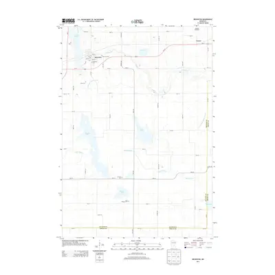
2013 Map of Brownton
USGS Topo · Published 2013About this map
Brownton serves as the central hub of this agricultural landscape in McLeod Co, where the prairie is defined by a complex network of wetlands and drainage. The map reveals the critical role of water management in the region, featuring engineered waterways like County Ditch Number Thirty and Judicial Ditch Number Nineteen alongside natural features like High Island Cr and Buffalo Cr. To the northeast, the hamlet of Sumter sits near the edge of the Nobles Lakebed, illustrating the area's history of land reclamation for farming.
Find a feature on this map
52 named features on this map. Tap any name to fly to it.
Don’t see what you’re looking for? This feature index may not catch every label — zoom into the map to look around manually.
Map Details
Editions of this 2013 Brownton Map
This is the sole edition of this map. No revisions or reprints were ever made.
Other maps of this area

1953 · New Ulm
USGS Topo · 1:250,000

1957 · New Ulm
USGS Topo · 1:250,000

1958 · New Ulm
USGS Topo · 1:250,000

1958 · Gaylord
USGS Topo · 1:62,500

1958 · Glencoe
USGS Topo · 1:62,500

1958 · Winthrop
USGS Topo · 1:62,500

1958 · Hutchinson
USGS Topo · 1:62,500

1967 · New Ulm
USGS Topo · 1:250,000
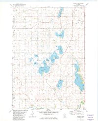
1982 · Heatwole
USGS Topo · 1:24,000
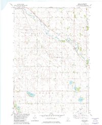
1982 · Biscay
USGS Topo · 1:24,000