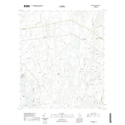
2020 Map of Browntown
USGS Topo · Published 2020About this map
Browntown and the surrounding coastal plains of southeast Georgia are defined by a complex network of wetlands and river reaches. The Satilla River winds across the southern portion of the map, creating a mosaic of oxbows and named reaches including Buzzard Roost Reach and Flat Wood Bluff Reach. This landscape of swamps and hammocks is dotted with family-named features like Zetser Hammock and Flowers Island, reflecting the rural land use and genealogy of Brantley and Wayne counties.
Find a feature on this map
89 named features on this map. Tap any name to fly to it.
Don’t see what you’re looking for? This feature index may not catch every label — zoom into the map to look around manually.
Map Details
Editions of this 2020 Browntown Map
This is the sole edition of this map. No revisions or reprints were ever made.
Other maps of this area

1917 · Nahunta
USGS Topo · 1:62,500

1918 · Hortense
USGS Topo · 1:62,500

1918 · Everett City
USGS Topo · 1:62,500

1918 · Nahunta
USGS Topo · 1:62,500

1918 · Bladen
USGS Topo · 1:62,500

1920 · Everett City
USGS Topo · 1:62,500

1939 · Bladen
USGS Topo · 1:62,500

1944 · Everett City
USGS Topo · 1:62,500

1944 · Hortense
USGS Topo · 1:62,500

1946 · Brunswick
USGS Topo · 1:250,000