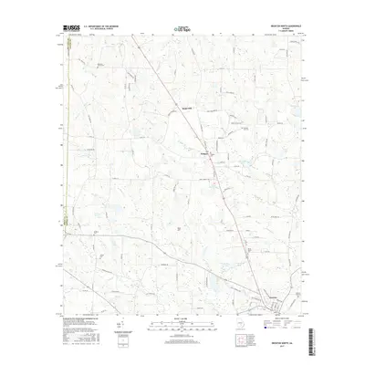
2017 Map of Broxton North
USGS Topo · Published 2017About this map
Broxton anchors the southeastern corner of this Coffee County landscape, where the town’s residential streets and Broxton City Cem transition into a rural network of creeks and small family cemeteries. To the north, the small settlements of Sapps Still and Pridgen are connected by a primary corridor that cuts through the agricultural terrain. The map details a landscape defined by significant water systems, including Aunt Omie Cr, Seven Cr, and Ninemile Cr, which dictate the placement of local roads and farm properties. For genealogists and local historians, the sheet is particularly valuable for locating scattered burial sites like Reedy Branch Cem, De Berry Cem, and Candacy Cato Cem. Several named ponds and lakes, such as James Smith Lake and Dockery Pond, punctuate the drainage basins between Roses Cr and Halls Cr.
Find a feature on this map
96 named features on this map. Tap any name to fly to it.
Don’t see what you’re looking for? This feature index may not catch every label — zoom into the map to look around manually.
Map Details
Editions of this 2017 Broxton North Map
This is the sole edition of this map. No revisions or reprints were ever made.
Other maps of this area

1953 · Waycross
USGS Topo · 1:250,000

1958 · Waycross
USGS Topo · 1:250,000

1971 · Douglas North
USGS Topo · 1:24,000

1971 · Snipesville
USGS Topo · 1:24,000

1971 · Broxton NE
USGS Topo · 1:24,000

1972 · Broxton North
USGS Topo · 1:24,000

1972 · Jacksonville
USGS Topo · 1:24,000

1972 · Ambrose
USGS Topo · 1:24,000

1972 · China Hill
USGS Topo · 1:24,000

1977 · Osierfield
USGS Topo · 1:24,000