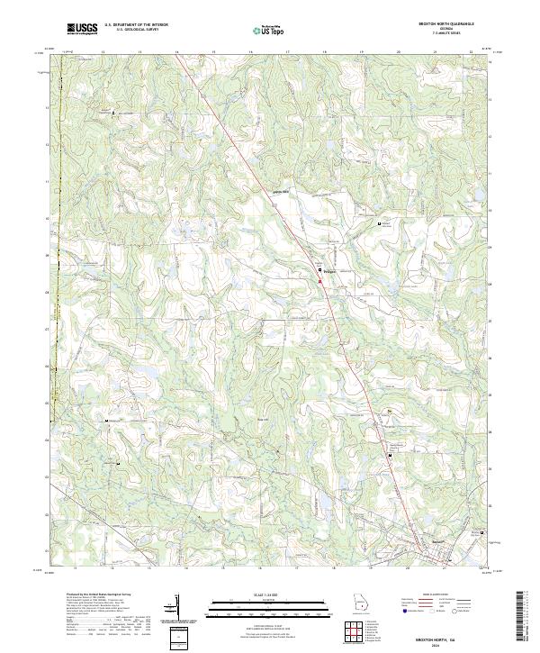
2024 Map of Broxton North
USGS Topo · Published 2024About this map
Broxton anchors the southern edge of this Coffee County landscape, serving as a focal point for a region defined by its intricate network of blackwater streams and small agricultural communities. The terrain is drained by several significant waterways including Seven Creek, Ninemile Creek, and Aunt Omie Creek, which carve through the Coastal Plain towards the Ocmulgee River basin. Smaller settlements like Pridgen and Sapps Still appear along the primary north-south corridors, reflecting the rural township patterns established in the late 19th and early 20th centuries.
Find a feature on this map
106 named features on this map. Tap any name to fly to it.
Don’t see what you’re looking for? This feature index may not catch every label — zoom into the map to look around manually.
Map Details
Editions of this 2024 Broxton North Map
This is the sole edition of this map. No revisions or reprints were ever made.
Other maps of this area

1953 · Waycross
USGS Topo · 1:250,000

1958 · Waycross
USGS Topo · 1:250,000

1971 · Douglas North
USGS Topo · 1:24,000

1971 · Snipesville
USGS Topo · 1:24,000

1971 · Broxton NE
USGS Topo · 1:24,000

1972 · Broxton North
USGS Topo · 1:24,000

1972 · Jacksonville
USGS Topo · 1:24,000

1972 · Ambrose
USGS Topo · 1:24,000

1972 · China Hill
USGS Topo · 1:24,000

1977 · Osierfield
USGS Topo · 1:24,000