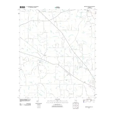
2011 Map of Broxton South
USGS Topo · Published 2011About this map
The Seventeen Mile River meanders across this South Georgia landscape, providing a primary drainage for the agricultural and timbered lands south of Broxton. Small rural settlements like Bushnell and Upton sit along the corridors of the Georgia Southwestern Railroad and State Route 32, which cut diagonally across the terrain. The map is particularly notable for its density of family and community burial grounds, including the Bethany Cemetery, Day Cemetery, Griffin Cemetery, and the Peterson Cemetery near the southern boundary.
Find a feature on this map
83 named features on this map. Tap any name to fly to it.
Don’t see what you’re looking for? This feature index may not catch every label — zoom into the map to look around manually.
Map Details
Editions of this 2011 Broxton South Map
This is the sole edition of this map. No revisions or reprints were ever made.
Other maps of this area

1953 · Waycross
USGS Topo · 1:250,000

1958 · Waycross
USGS Topo · 1:250,000

1971 · Douglas North
USGS Topo · 1:24,000

1971 · Douglas South
USGS Topo · 1:24,000

1971 · Broxton NE
USGS Topo · 1:24,000

1972 · Broxton North
USGS Topo · 1:24,000

1972 · Lax
USGS Topo · 1:24,000

1972 · Ambrose
USGS Topo · 1:24,000

1972 · Mora
USGS Topo · 1:24,000

1977 · Osierfield
USGS Topo · 1:24,000