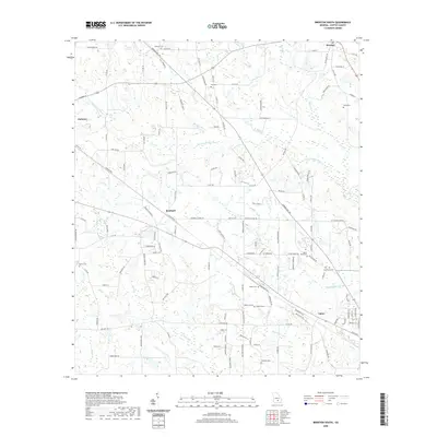
2020 Map of Broxton South
USGS Topo · Published 2020About this map
Ambrose and Bushnell anchor this Coffee County landscape, which is defined by the winding course of the Seventeen Mile River and its numerous tributaries. The geography is marked by a high concentration of family and community burial grounds, including Bethany Cem, Day Cem, and Rocky Pond Cem, providing significant touchpoints for genealogical research. The terrain transitions from the developed corridors near Broxton and Upton into the densely wooded Pine Thicket. Numerous named creeks, such as Twenty Mile Cr and Indian Cr, suggest a well-watered agricultural region where local transport historically relied on routes like Bowens Mill Rd and Sink Hole Rd. The presence of Harper Lake and various depressions across the map indicate the distinct karst-influenced topography of South Georgia.
Find a feature on this map
137 named features on this map. Tap any name to fly to it.
Don’t see what you’re looking for? This feature index may not catch every label — zoom into the map to look around manually.
Map Details
Editions of this 2020 Broxton South Map
This is the sole edition of this map. No revisions or reprints were ever made.
Other maps of this area

1953 · Waycross
USGS Topo · 1:250,000

1958 · Waycross
USGS Topo · 1:250,000

1971 · Douglas North
USGS Topo · 1:24,000

1971 · Douglas South
USGS Topo · 1:24,000

1971 · Broxton NE
USGS Topo · 1:24,000

1972 · Broxton North
USGS Topo · 1:24,000

1972 · Lax
USGS Topo · 1:24,000

1972 · Ambrose
USGS Topo · 1:24,000

1972 · Mora
USGS Topo · 1:24,000

1977 · Osierfield
USGS Topo · 1:24,000