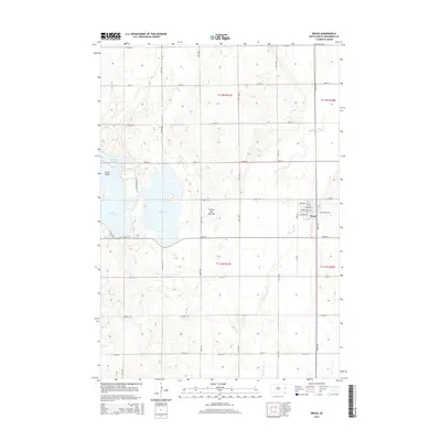
2015 Map of Bruce
USGS Topo · Published 2015About this map
Bruce anchors this portion of Brookings County, situated along the Big Sioux River just as the waterway begins its winding course southward. The town's grid is clearly defined by named streets like Washington St and Jefferson St, while the nearby Bruce Cem provides a point of reference for those tracing local family histories. The landscape is dominated by the distinct glacial topography of the Coteau des Prairies, a high plateau that shapes the hydrology of the region.
Find a feature on this map
37 named features on this map. Tap any name to fly to it.
Don’t see what you’re looking for? This feature index may not catch every label — zoom into the map to look around manually.
Map Details
Editions of this 2015 Bruce Map
This is the sole edition of this map. No revisions or reprints were ever made.
Other maps of this area

1953 · Watertown
USGS Topo · 1:250,000

1958 · Watertown
USGS Topo · 1:250,000

1964 · Brookings
USGS Topo · 1:24,000

1968 · Lake Sinai
USGS Topo · 1:24,000

1968 · Brookings NE
USGS Topo · 1:24,000

1968 · Bruce
USGS Topo · 1:24,000

1968 · Volga
USGS Topo · 1:24,000

1968 · Arlington NE
USGS Topo · 1:24,000

1969 · Lake Poinsett
USGS Topo · 1:24,000

1970 · Estelline SE
USGS Topo · 1:24,000