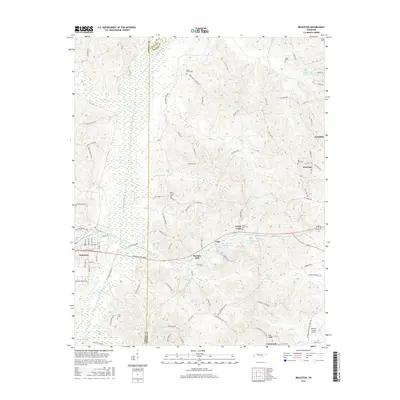
2016 Map of Bruceton
USGS Topo · Published 2016About this map
The Big Sandy River and its expansive wetlands form a significant natural corridor along the border of Carroll and Benton Counties. The town of Bruceton sits at the western edge of this drainage, characterized by a grid of streets including Broad St and Clover St that intersect the historical Broadway of America. This regional thoroughfare connects the primary settlement to smaller outlying communities such as Sawyers Mill, Lipe, and Sandy Point.
Find a feature on this map
103 named features on this map. Tap any name to fly to it.
Don’t see what you’re looking for? This feature index may not catch every label — zoom into the map to look around manually.
Map Details
Editions of this 2016 Bruceton Map
This is the sole edition of this map. No revisions or reprints were ever made.
Other maps of this area

1936 · Camden
USGS Topo · 1:24,000

1936 · Seventeen Creek
USGS Topo · 1:24,000

1936 · Big Sandy
USGS Topo · 1:24,000

1936 · Mansfield
USGS Topo · 1:24,000

1936 · Vale
USGS Topo · 1:24,000

1936 · Bruceton
USGS Topo · 1:24,000

1936 · Buena Vista
USGS Topo · 1:24,000

1936 · Rockport
USGS Topo · 1:24,000

1936 · Manleyville
USGS Topo · 1:24,000

1940 · Manleyville
USGS Topo · 1:24,000