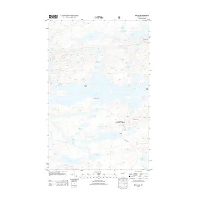
2013 Map of Brule Lake
USGS Topo · Published 2013About this map
The Superior National Forest dominates this landscape in Cook County, where a dense network of glacial lakes defines the terrain. The central feature is Brule Lake, a sprawling water body punctuated by Fishbox Island and Brule Island. To the north, the Misquah Hills rise above a series of interconnected basins including Winchell Lake and Wanihigan Lake. Human infrastructure is minimal in this wilderness area, centered on the Brule Lake Lookout Tower and the southern access provided by Brule Lake Rd. Smaller named lakes like Cuckoo Lake, Poverty Lake, and Famine Lake illustrate the intricate local geography. Landmark points such as Jock Mock Point and various smaller basins like Homer Lake and Axe Lake provide specific reference points for researchers navigating this aquatic labyrinth.
Find a feature on this map
44 named features on this map. Tap any name to fly to it.
Don’t see what you’re looking for? This feature index may not catch every label — zoom into the map to look around manually.
Map Details
Editions of this 2013 Brule Lake Map
This is the sole edition of this map. No revisions or reprints were ever made.
Other maps of this area
1919 · Brule Lake
USGS Topo · 1:62,500
1954 · Two Harbors
USGS Topo · 1:250,000
1957 · Two Harbors
USGS Topo · 1:250,000
1957 · Quetico
USGS Topo · 1:250,000
1958 · Two Harbors
USGS Topo · 1:250,000
1960 · Tait Lake
USGS Topo · 1:24,000

1960 · Mark Lake
USGS Topo · 1:24,000
1960 · South Lake
USGS Topo · 1:24,000
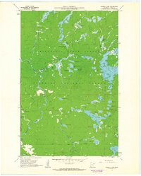
1960 · Sawbill Camp
USGS Topo · 1:24,000
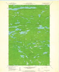
1960 · Eagle Mountain
USGS Topo · 1:24,000