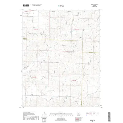
2017 Map of Bruner
USGS Topo · Published 2017About this map
The rugged Ozark foothills where Webster, Douglas, and Christian counties converge are defined by a complex network of creeks and isolated settlements. Small communities like Elkhead, Bruner, and Zenar dot the landscape, connected by winding routes such as State HWY KK and State HWY Z. The area’s genealogical record is preserved in numerous family-named burial grounds, including the West Finley, McHaffie, and Sartin cemeteries, which are typically situated on the higher ground between drainage systems. Significant water features like Finley Creek and its many tributaries, such as Martins Branch and Stewart Creek, have shaped the local topography. This map documents a quiet, rural portion of Missouri where Todd Spring and Murphy Pond represent the essential natural water sources for these upland communities.
Find a feature on this map
98 named features on this map. Tap any name to fly to it.
Don’t see what you’re looking for? This feature index may not catch every label — zoom into the map to look around manually.
Map Details
Editions of this 2017 Bruner Map
This is the sole edition of this map. No revisions or reprints were ever made.
Other maps of this area
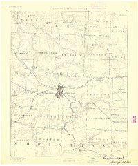
1884 · Springfield
USGS Topo · 1:125,000
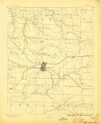
1886 · Springfield
USGS Topo · 1:125,000
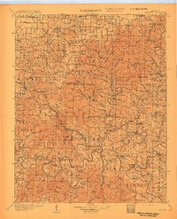
1907 · Forsyth
USGS Topo · 1:125,000
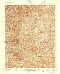
1937 · Bradleyville
USGS Topo · 1:48,000
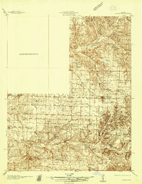
1937 · Ozark
USGS Topo · 1:48,000
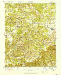
1939 · Fordland
USGS Topo · 1:62,500
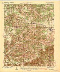
1942 · Fordland
USGS Topo · 1:62,500
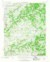
1943 · Ozark
USGS Topo · 1:62,500
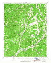
1943 · Bradleyville
USGS Topo · 1:62,500

1945 · Harrison
USGS Topo · 1:250,000