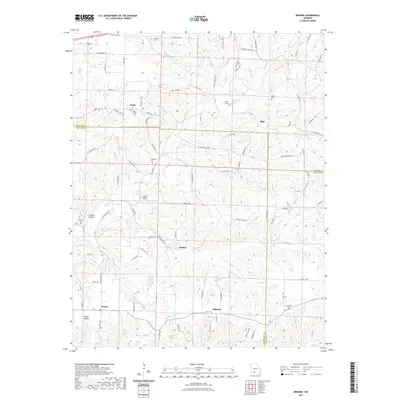
2021 Map of Bruner
USGS Topo · Published 2021About this map
Finley Creek and its many tributaries, including Greasy Cr and Stewart Cr, carve through this section of the Ozarks where the boundaries of Christian, Webster, and Douglas counties meet. Small, dispersed settlements like Bruner, Elkhead, and Zenar anchor the landscape, connected by a network of state highways and local routes such as State Hwy KK and State Hwy Z. The prevalence of family and community burial grounds, such as Greenhill Cem, Ragsdale Cem, and McHaffie Cem, suggests a long history of local settlement and genealogical continuity. Natural features like Todd Spring and Murphy Pond provide distinct landmarks among the ridges, while named hollows like Phillips Hollow and Smith Hollow trace the drainage patterns toward Swan Cr in the south. The map reflects a modern rural environment where historic place names and ancestral sites persist alongside contemporary road systems.
Find a feature on this map
99 named features on this map. Tap any name to fly to it.
Don’t see what you’re looking for? This feature index may not catch every label — zoom into the map to look around manually.
Map Details
Editions of this 2021 Bruner Map
This is the sole edition of this map. No revisions or reprints were ever made.
Other maps of this area

1884 · Springfield
USGS Topo · 1:125,000

1886 · Springfield
USGS Topo · 1:125,000

1907 · Forsyth
USGS Topo · 1:125,000

1937 · Bradleyville
USGS Topo · 1:48,000

1937 · Ozark
USGS Topo · 1:48,000

1939 · Fordland
USGS Topo · 1:62,500

1942 · Fordland
USGS Topo · 1:62,500

1943 · Ozark
USGS Topo · 1:62,500

1943 · Bradleyville
USGS Topo · 1:62,500

1945 · Harrison
USGS Topo · 1:250,000