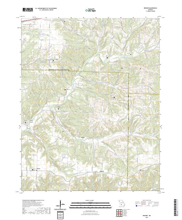
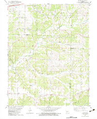
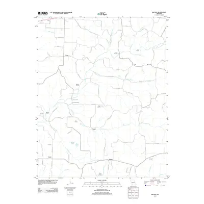
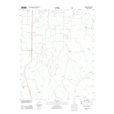
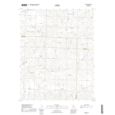
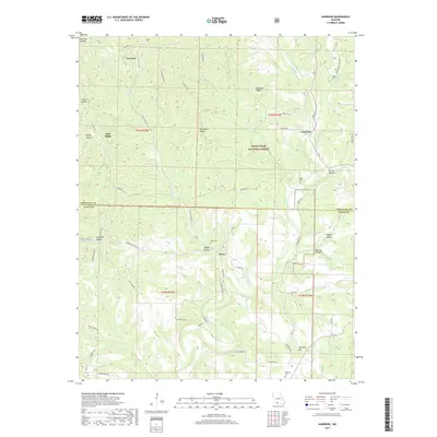
2023 Map of Bruner
USGS Topo · Published 2023About this map
Finley Creek and its many tributaries, including Greasy Creek and Stewart Creek, carve a complex drainage pattern across this section of the Ozark Plateau. Small, unincorporated settlements like Abadyl, Elkhead, and Bruner are linked by a network of local roads such as Chinkapin Rd and State Hwy NN, highlighting the area's rural character. The map is particularly rich in genealogical data, featuring numerous family and community burial grounds like Sartin Cem, Ragsdale Cem, and Swearengin Cem.
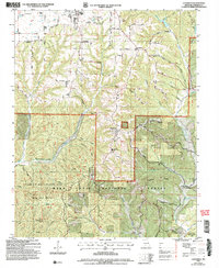
Find a feature on this map
107 named features on this map. Tap any name to fly to it.
Don’t see what you’re looking for? This feature index may not catch every label — zoom into the map to look around manually.
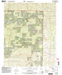
Map Details
Editions of this 2023 Bruner Map
This is the sole edition of this map. No revisions or reprints were ever made.
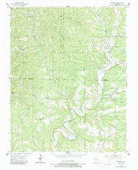
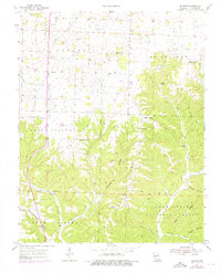
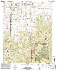
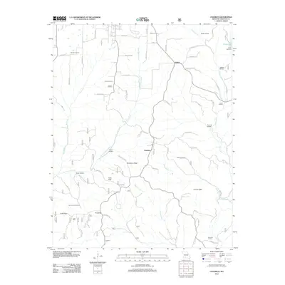
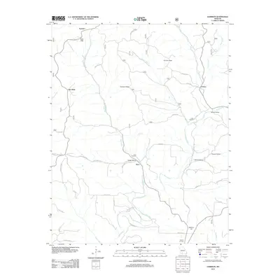
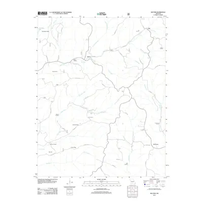
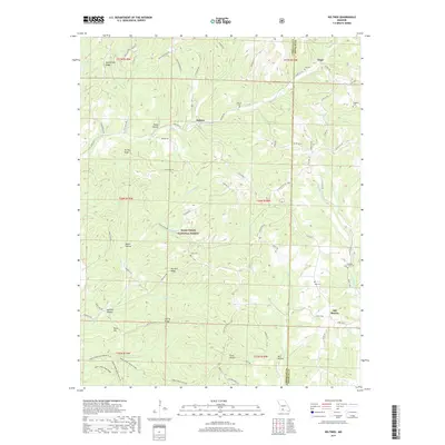
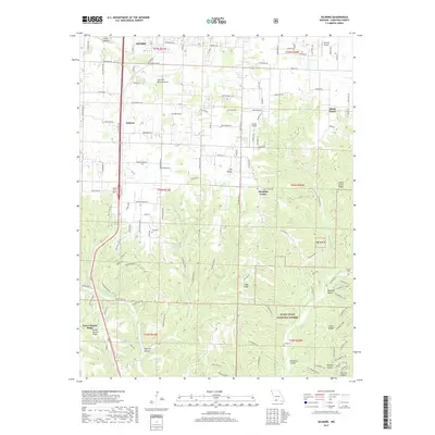
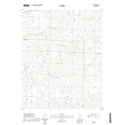
Historical Maps of Elkhead Through Time
29 maps found
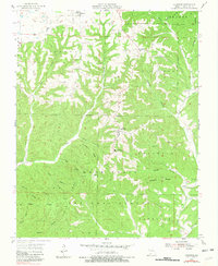
1955 Chadwick
Christian County, MO
1955 Garrison
Christian County, MO
1955 Selmore
Christian County, MO
1982 Bruner
Christian County, MO

1982 Keltner
Christian County, MO
2004 Chadwick
Christian County, MO
2004 Keltner
Christian County, MO
2004 Selmore
Christian County, MO
2012 Bruner
Christian County, MO
2012 Chadwick
Christian County, MO
2012 Garrison
Christian County, MO
2012 Keltner
Christian County, MO
2012 Selmore
Christian County, MO
2015 Bruner
Christian County, MO
2015 Chadwick
Christian County, MO
2015 Garrison
Christian County, MO
2015 Keltner
Christian County, MO
2015 Selmore
Christian County, MO
2017 Bruner
Christian County, MO
2017 Chadwick
Christian County, MO
2017 Garrison
Christian County, MO
2017 Keltner
Christian County, MO
2017 Selmore
Christian County, MO
2021 Bruner
Christian County, MO
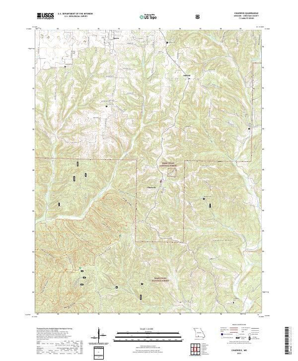
2021 Chadwick
Christian County, MO
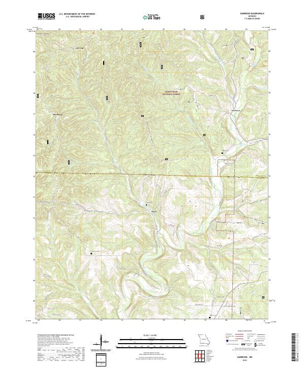
2021 Garrison
Christian County, MO
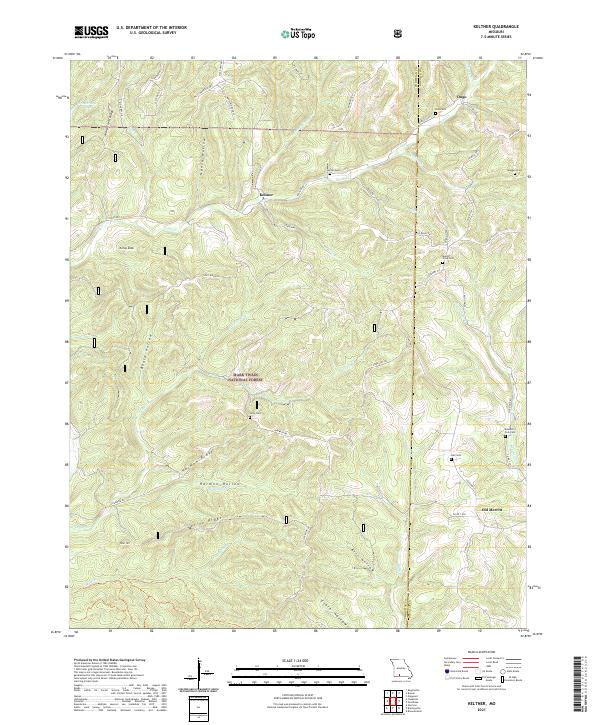
2021 Keltner
Christian County, MO
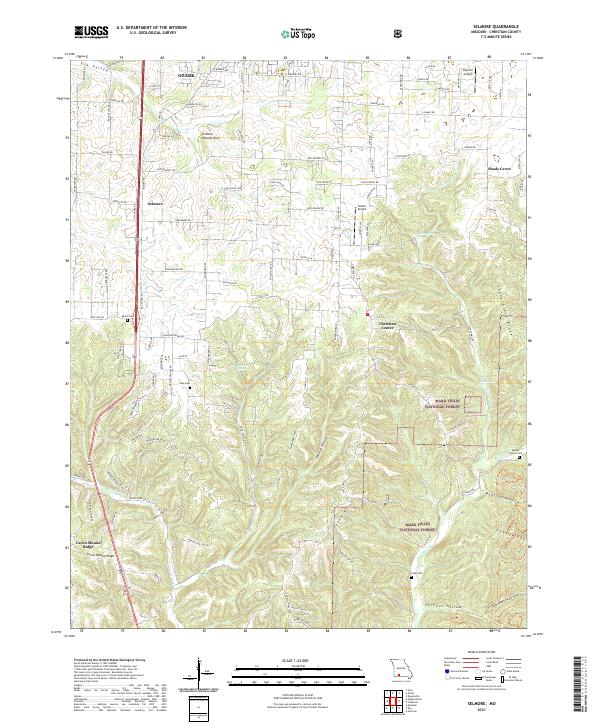
2021 Selmore
Christian County, MO
2023 Bruner
Christian County, MO