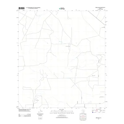
2013 Map of Bruni SE
USGS Topo · Published 2013About this map
The oil and gas industry defines this South Texas landscape in Webb County, where numerous energy production sites dot the terrain. Significant operations including the Saint Joseph Oil Field, Yeager Oil Field, and La Fevre Oil Field are connected by a network of ranch roads and specialized routes. The land is largely divided into private holdings, evidenced by named access points like Chon Ranch Ln and Yeager Ranch Rd. Water is scarce in this semi-arid region, with the seasonal Noriacitas Cr serving as a primary drainage feature. Local history is anchored at the Greenhill Cem, a small burial site situated in the northeastern portion of the quadrangle. Other transit corridors, such as Postman Ln and Armstrong Rd, facilitate movement between the dispersed ranching and industrial facilities.
Find a feature on this map
13 named features on this map. Tap any name to fly to it.
Don’t see what you’re looking for? This feature index may not catch every label — zoom into the map to look around manually.
Map Details
Editions of this 2013 Bruni SE Map
This is the sole edition of this map. No revisions or reprints were ever made.
Other maps of this area
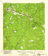
1939 · Bruni
USGS Topo · 1:62,500
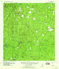
1939 · Randado
USGS Topo · 1:62,500
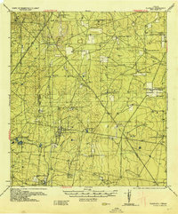
1940 · Randado
USGS Topo · 1:62,500

1956 · Laredo
USGS Topo · 1:250,000
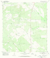
1967 · Hebbronville NW
USGS Topo · 1:24,000
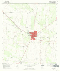
1967 · Hebbronville
USGS Topo · 1:24,000
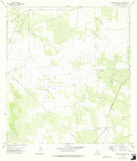
1972 · Armstrong Ranch
USGS Topo · 1:24,000
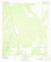
1972 · Albercas Ranch
USGS Topo · 1:24,000
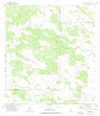
1972 · Bruni SE
USGS Topo · 1:24,000
1972 · Bruni
USGS Topo · 1:24,000