
1972 Map of Bruni SE
USGS Topo · Published 1975About this map
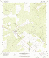
The Texas Mexican railroad cuts through the northeastern corner of this South Texas landscape, where the borders of Webb, Duval, and Jim Hogg counties converge. This 1972 survey captures an area defined by its energy and ranching economy, dominated by extensive industrial operations like the Yeager Oil Field and La Fevre Oil Field. The terrain is marked by numerous oil wells and a significant pipeline network that traverses the brush country alongside several intermittent watercourses.
Find a feature on this map
16 named features on this map. Tap any name to fly to it.
Don’t see what you’re looking for? This feature index may not catch every label — zoom into the map to look around manually.
Map Details
Editions of this 1972 Bruni SE Map
This is the sole edition of this map. No revisions or reprints were ever made.
Other maps of this area

1939 · Bruni
USGS Topo · 1:62,500

1939 · Randado
USGS Topo · 1:62,500

1940 · Randado
USGS Topo · 1:62,500

1956 · Laredo
USGS Topo · 1:250,000

1967 · Hebbronville NW
USGS Topo · 1:24,000

1967 · Hebbronville
USGS Topo · 1:24,000

1972 · Armstrong Ranch
USGS Topo · 1:24,000

1972 · Albercas Ranch
USGS Topo · 1:24,000
1972 · Bruni
USGS Topo · 1:24,000
1972 · Oilton
USGS Topo · 1:24,000