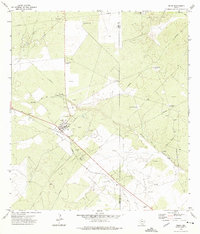
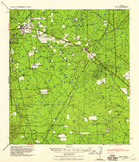
1939 Map of Bruni
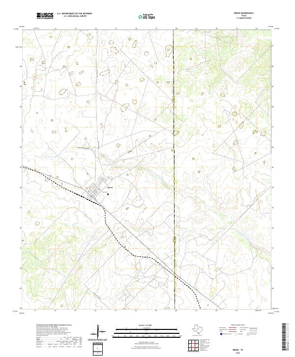
USGS Topo · Published 1969About this map
South Texas oil production and ranching define this landscape at the brink of the 1940s, captured during a period of significant industrial activity across the Webb and Duval county lines. The Texas Mexican railroad serves as the primary spine for the region, connecting the busy hub of Bruni with the energy centers of Oilton and Mirando City. The presence of the O W Killam Refinery (Amsco) and sprawling petroleum zones like the Valdez Oil Field and Bruni Field illustrate a landscape undergoing rapid development, even as traditional ranching persists. Numerous family-named homesteads, such as Santa Cruz Ranch, La Amistad Ranch, and Solano Ranch, are scattered across the brushland, marking the deep-rooted settlement patterns of the area. Traces of earlier habitation are evident at the Alberca Ranch (RUINS) near the Old Albercas Field, providing a clear record of both the rising petroleum economy and the fading structures of previous eras.
Find a feature on this map
39 named features on this map. Tap any name to fly to it.
Don’t see what you’re looking for? This feature index may not catch every label — zoom into the map to look around manually.
Map Details
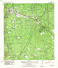
Editions of this 1939 Bruni Map
2 editions found
Historical Maps of Oilton Through Time
7 maps found