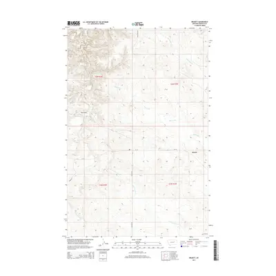
2014 Map of Brusett
USGS Topo · Published 2014About this map
The unincorporated community of Brusett serves as a remote geographic anchor in this Garfield County landscape, defined by its Post Office and a network of gravel and local roads like Four Corners Ln and Edwards Rd. The terrain is characterized by a series of drainage systems that have carved the high plains, including the winding Butts Coulee and the headwaters of Seven Blackfoot Cr.
Find a feature on this map
16 named features on this map. Tap any name to fly to it.
Don’t see what you’re looking for? This feature index may not catch every label — zoom into the map to look around manually.
Map Details
Editions of this 2014 Brusett Map
This is the sole edition of this map. No revisions or reprints were ever made.
Other maps of this area
1954 · Jordan
USGS Topo · 1:250,000
1956 · Jordan
USGS Topo · 1:250,000
1958 · Jordan
USGS Topo · 1:250,000
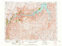
1964 · Jordan
USGS Topo · 1:250,000
1971 · Hell Hollow
USGS Topo · 1:24,000
1971 · Sawmill Creek
USGS Topo · 1:24,000
1971 · Chalk Butte
USGS Topo · 1:24,000
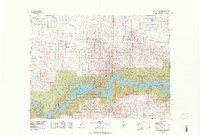
1978 · Fort Peck Lake West
USGS Topo · 1:100,000
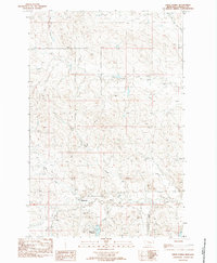
1983 · Steve Forks
USGS Topo · 1:24,000
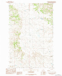
1983 · Blackfoot School
USGS Topo · 1:24,000