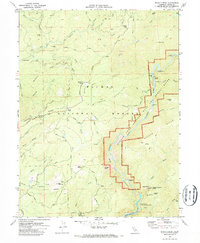
1970 Map of Brush Creek
USGS Topo · Published 1973About this map
Mountain House and the community of Brush Creek anchor this survey of the Sierra Nevada foothills, mapped just as the regional landscape was being reshaped by the development of the State Water Project. The rugged topography is defined by the deep incision of the Middle Fork Feather River, which is designated here as the Middle Fork Feather Wild and Scenic River. Evidence of earlier resource extraction remains visible in the Dredge Tailings along French Creek, while the southern portion of the map shows the rising waters of Lake Oroville. Significant landmarks for local history include the Junction House (Site) and the Berry Creek Rancheria, alongside natural features like the massive Bald Rock Dome and the iconic Feather Falls near Wagners Valley. The network of old routes, including the Oroville Quincy Highway and the Shute Trail, provides a record of historical transit through the Plumas National Forest.
Find a feature on this map
75 named features on this map. Tap any name to fly to it.
Don’t see what you’re looking for? This feature index may not catch every label — zoom into the map to look around manually.
Map Details
Editions of this 1970 Brush Creek Map
2 editions found
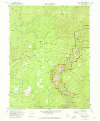
Other maps of this area

1888 · Bidwell Bar
USGS Topo · 1:125,000

1891 · Bidwell Bar
USGS Topo · 1:125,000

1893 · Bidwell Bar
USGS Topo · 1:125,000

1895 · Bidwell Bar
USGS Topo · 1:125,000

1897 · Bidwell Bar
USGS Topo · 1:125,000
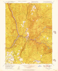
1947 · Bidwell Bar
USGS Topo · 1:24,000
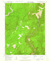
1947 · Brush Creek
USGS Topo · 1:24,000

1948 · Big Bend Mtn
USGS Topo · 1:62,500
1948 · Mooreville Ridge
USGS Topo · 1:62,500
1948 · Las Plumas
USGS Topo · 1:24,000