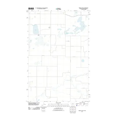
2011 Map of Brush Lake
USGS Topo · Published 2011About this map
Saint Olaf Cemetery stands as a quiet landmark in this prairie landscape along the North Dakota and Montana border. The terrain is defined by a series of glacial potholes and larger water bodies, most notably Brush Lake, which supports the small community of Brush Lake Resort. This settlement, along with the nearby label for Dwyer, represents the sparse human footprint in a region dominated by agricultural sections and natural drainage patterns.
Find a feature on this map
22 named features on this map. Tap any name to fly to it.
Don’t see what you’re looking for? This feature index may not catch every label — zoom into the map to look around manually.
Map Details
Editions of this 2011 Brush Lake Map
This is the sole edition of this map. No revisions or reprints were ever made.
Other maps of this area
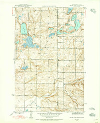
1946 · Brush Lake
USGS Topo · 1:24,000
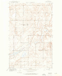
1946 · Dagmar
USGS Topo · 1:24,000
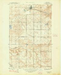
1948 · Grenora
USGS Topo · 1:24,000
1948 · Dagmar
USGS Topo · 1:24,000
1948 · Brush Lake
USGS Topo · 1:24,000
1948 · Sunnyhill School
USGS Topo · 1:24,000
1949 · Sunnyhill School
USGS Topo · 1:24,000

1953 · Williston
USGS Topo · 1:250,000

1954 · Wolf Point
USGS Topo · 1:250,000

1957 · Williston
USGS Topo · 1:250,000