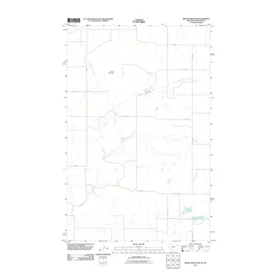
2011 Map of Brush Mountain
USGS Topo · Published 2011About this map
Brush Mountain rises as the central topographic feature in this section of Williams County, shaping the drainage of numerous local waterways. The landscape is defined by the winding course of Brush Mountain Creek and its tributary, the East Fork Brush Mountain Creek, which flow through a grid of rural section-line roads such as 155th Ave NW and 74th St NW. Water management and natural hydrology are evident at Calvin Dam and the interestingly named Dead Horse Spring. In the southeast, the Chase Lake State Game Management Area occupies a significant portion of the terrain, centered around the Sweet Slough wetlands. This 2011 survey by the U.S. Geological Survey provides a precise view of the remote northern plains before extensive modern development altered the agricultural and wildlife patterns.
Find a feature on this map
20 named features on this map. Tap any name to fly to it.
Don’t see what you’re looking for? This feature index may not catch every label — zoom into the map to look around manually.
Map Details
Editions of this 2011 Brush Mountain Map
This is the sole edition of this map. No revisions or reprints were ever made.
Other maps of this area
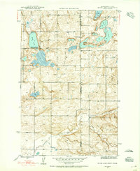
1946 · Brush Lake
USGS Topo · 1:24,000
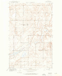
1946 · Dagmar
USGS Topo · 1:24,000
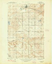
1948 · Grenora
USGS Topo · 1:24,000
1948 · Dagmar
USGS Topo · 1:24,000
1948 · Brush Lake
USGS Topo · 1:24,000
1948 · Sunnyhill School
USGS Topo · 1:24,000
1949 · Sunnyhill School
USGS Topo · 1:24,000

1953 · Williston
USGS Topo · 1:250,000

1954 · Wolf Point
USGS Topo · 1:250,000

1957 · Williston
USGS Topo · 1:250,000