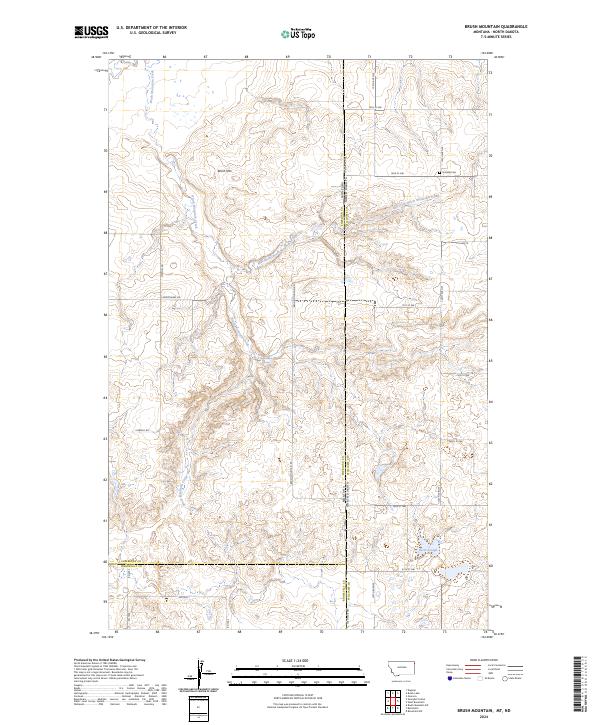
2024 Map of Brush Mountain
USGS Topo · Published 2024About this map
Brush Mountain anchors this northern Great Plains landscape where the borders of Montana and North Dakota meet at the junction of Sheridan, Roosevelt, and Williams counties. The drainage patterns of Brush Mountain Creek and its East Fork define the local topography, punctuated by isolated water sources such as Dead Horse Spring and Sweet Slough. A network of section-line roads, including Viewhill Rd and Chokecherry Rd, provides access to the high-plains terrain. On the North Dakota side of the border, Scandia Cem remains a significant landmark for genealogical research, representing the early Scandinavian heritage that shaped the settlement of this remote borderland. The map provides a precise look at the 2024 landscape, illustrating how modern agriculture and historical boundaries persist across the multi-county line.
Find a feature on this map
36 named features on this map. Tap any name to fly to it.
Don’t see what you’re looking for? This feature index may not catch every label — zoom into the map to look around manually.
Map Details
Editions of this 2024 Brush Mountain Map
This is the sole edition of this map. No revisions or reprints were ever made.
Other maps of this area

1946 · Brush Lake
USGS Topo · 1:24,000

1946 · Dagmar
USGS Topo · 1:24,000

1948 · Grenora
USGS Topo · 1:24,000

1948 · Dagmar
USGS Topo · 1:24,000

1948 · Brush Lake
USGS Topo · 1:24,000

1948 · Sunnyhill School
USGS Topo · 1:24,000

1949 · Sunnyhill School
USGS Topo · 1:24,000

1953 · Williston
USGS Topo · 1:250,000

1954 · Wolf Point
USGS Topo · 1:250,000

1957 · Williston
USGS Topo · 1:250,000