
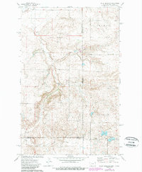
1974 Map of Brush Mountain
USGS Topo · Published 1977About this map
The high plains of the Montana-North Dakota border come into sharp focus in this mid-1970s survey, dominated by the prominent rise of Brush Mountain. The landscape is a remote patchwork of drainage basins and sloughs, where water is the primary landmark. Significant local history sites are concentrated near the state line, including the Scandia Ch and a nearby Cem, indicating the spiritual and social hubs of the rural farming community during this era.
Find a feature on this map
16 named features on this map. Tap any name to fly to it.
Don’t see what you’re looking for? This feature index may not catch every label — zoom into the map to look around manually.
Map Details
Editions of this 1974 Brush Mountain Map
2 editions found
Other maps of this area

1946 · Brush Lake
USGS Topo · 1:24,000

1946 · Dagmar
USGS Topo · 1:24,000

1948 · Grenora
USGS Topo · 1:24,000

1948 · Dagmar
USGS Topo · 1:24,000

1948 · Brush Lake
USGS Topo · 1:24,000

1948 · Sunnyhill School
USGS Topo · 1:24,000

1949 · Sunnyhill School
USGS Topo · 1:24,000

1953 · Williston
USGS Topo · 1:250,000

1954 · Wolf Point
USGS Topo · 1:250,000

1957 · Williston
USGS Topo · 1:250,000