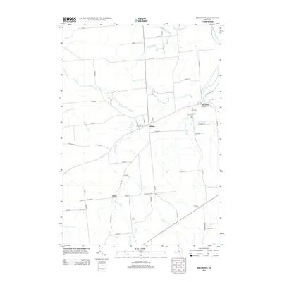
2013 Map of Brushton
USGS Topo · Published 2013About this map
Moira and Brushton serve as the primary hubs in this part of Franklin County, where the agricultural landscape is woven together by a dense network of country roads and several significant waterways. The Little Salmon River passes through the northeast corner, while numerous smaller streams like Farrington Brook, Lawrence Brook, and Joy Brook drain the surrounding fields. The settlement pattern remains centered on historic crossroads, including the hamlet of Alburg and the junction at Irish Corners.
Find a feature on this map
68 named features on this map. Tap any name to fly to it.
Don’t see what you’re looking for? This feature index may not catch every label — zoom into the map to look around manually.
Map Details
Editions of this 2013 Brushton Map
This is the sole edition of this map. No revisions or reprints were ever made.
Other maps of this area
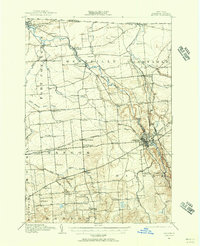
1915 · Malone
USGS Topo · 1:62,500
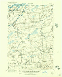
1915 · Moira
USGS Topo · 1:62,500
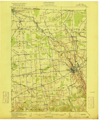
1917 · Malone
USGS Topo · 1:62,500
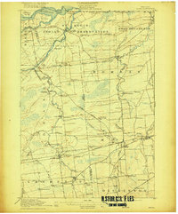
1917 · Moira
USGS Topo · 1:62,500
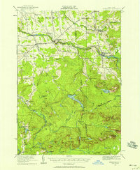
1919 · Nicholville
USGS Topo · 1:62,500
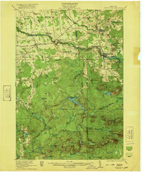
1921 · Nicholville
USGS Topo · 1:62,500
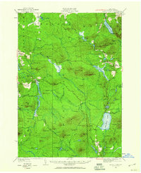
1921 · Santa Clara
USGS Topo · 1:62,500
1923 · Santa Clara
USGS Topo · 1:62,500
1944 · Moira
USGS Topo · 1:62,500
1948 · Ogdensburg
USGS Topo · 1:250,000